#oldquarrytrails
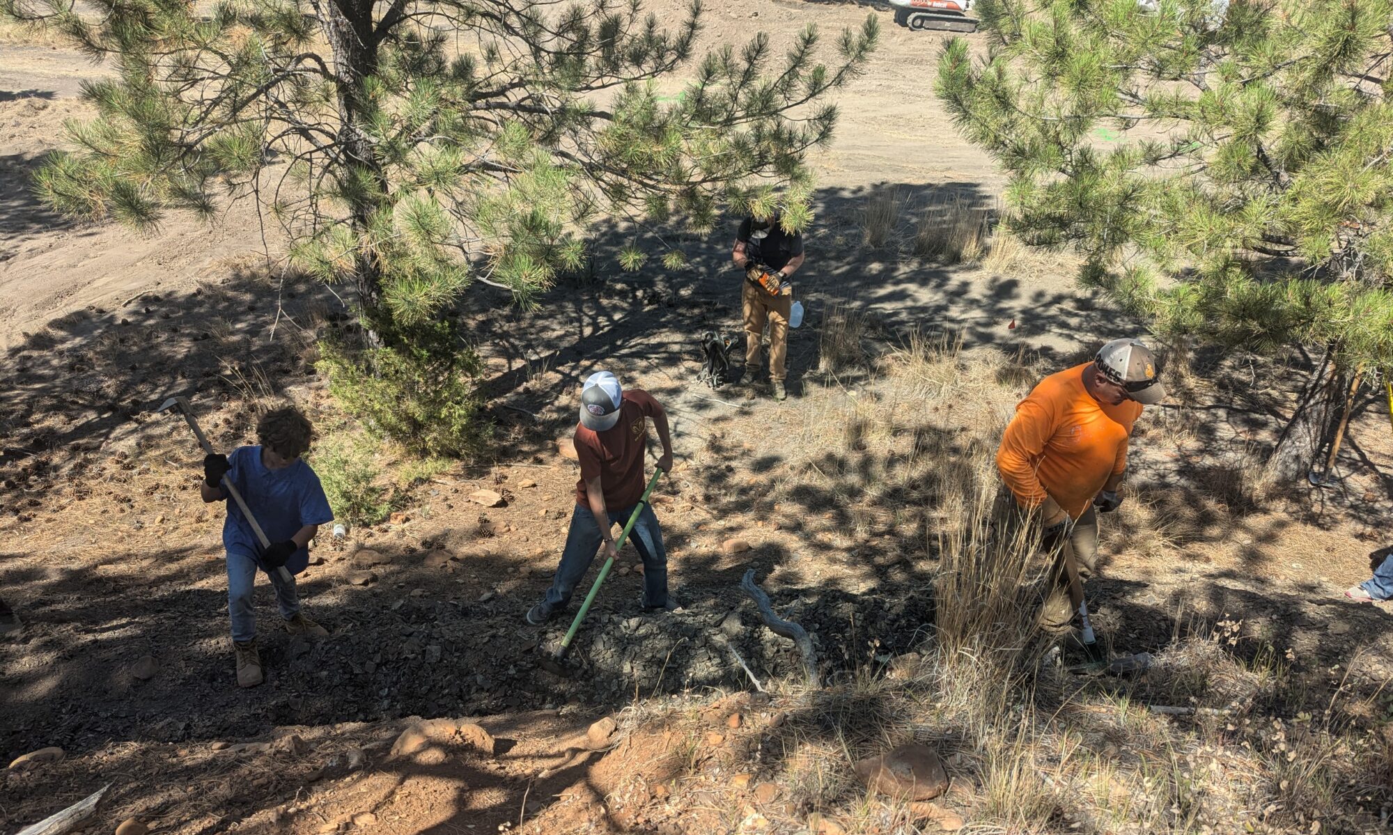
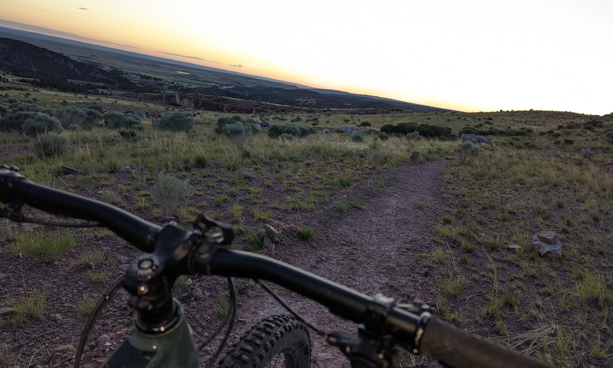
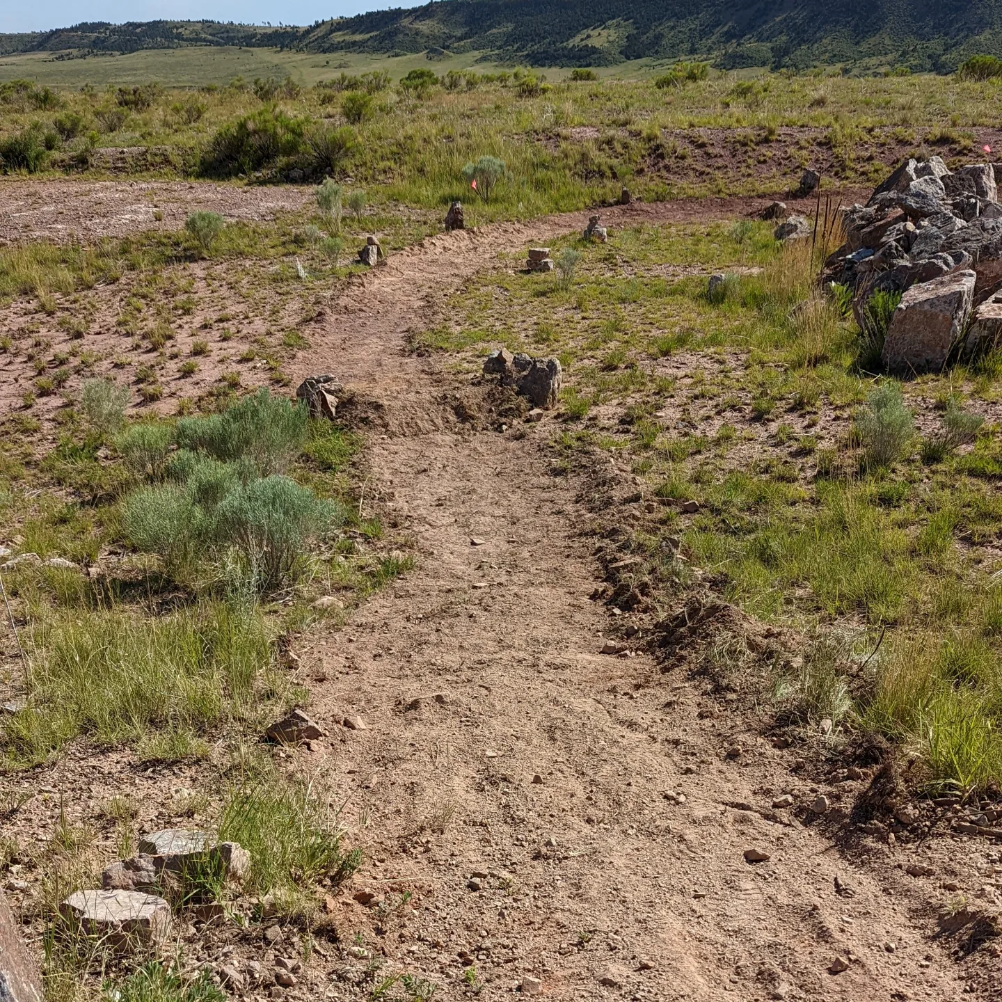
The Old Quarry Trails is a new trail system located just east of Newcastle, Wyoming on property managed by the BLM. Located just 8 miles east of Newcastle, it offers a fun mix of trails and scenery where you can enjoy a quick jaunt or a challenging adventure. Currently consisting of about 5 miles of trails ranging from 60″ to 40″ in width, with some narrower single track, there is something for everyone to enjoy!
And, as these trails often don’t hold snow for very long, it also makes for a great year-round trail system.
We hope you enjoy it as much as we do!
Current Map
Interactive Gooogle Maps
For an interactive experience, check out the detailed trail maps on Google Maps below. This map features all of the above trails, except Clay Spur, which is coming soon.
Tip: for the best experience!
If you open the map on your desktop computer you have the option to also view it on Google Earth. This allows for viewing in 3D! To find this option, click on the map and then look for the 3 dots in the top left of the screen. Click on these dots and select View in Google Earth