#flyingvtrails
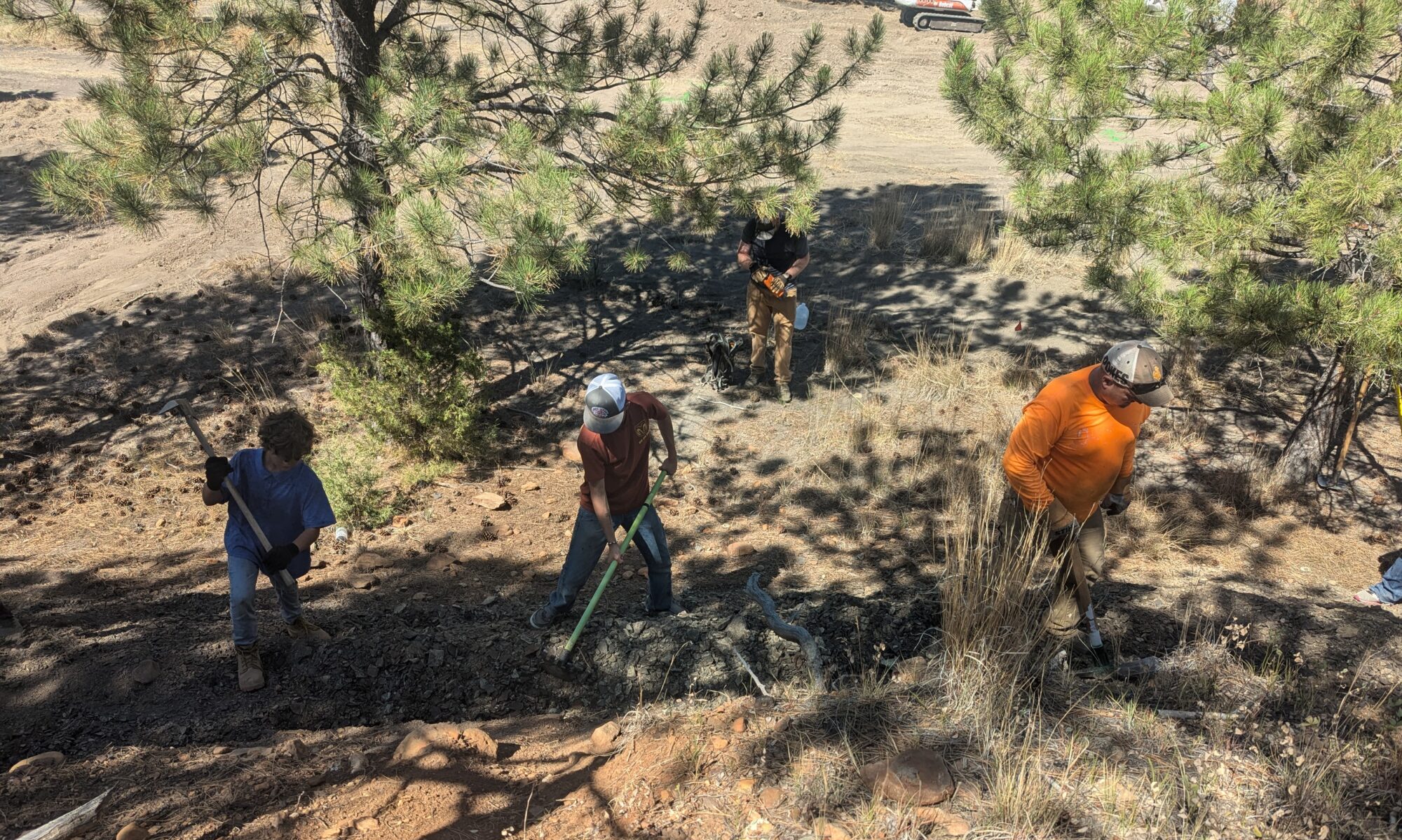
The Flying V Trail system is located about 8 miles north of Newcastle, WY on land owned by the State of Wyoming. The City of Newcastle pays the lease for the trail system. The land is also leased for cattle grazing in the summer and fall, and it is also managed for timber harvest by Wyoming State Forestry. This area is a great example of multi-use of public lands and we are so blessed to have access to it.
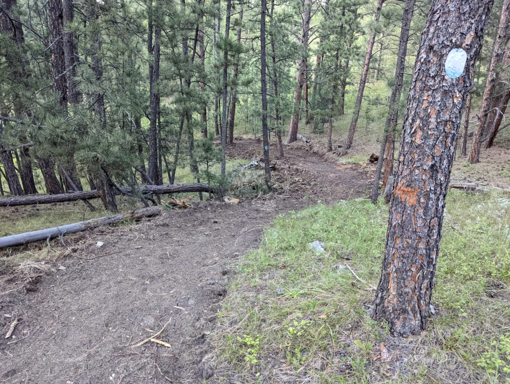
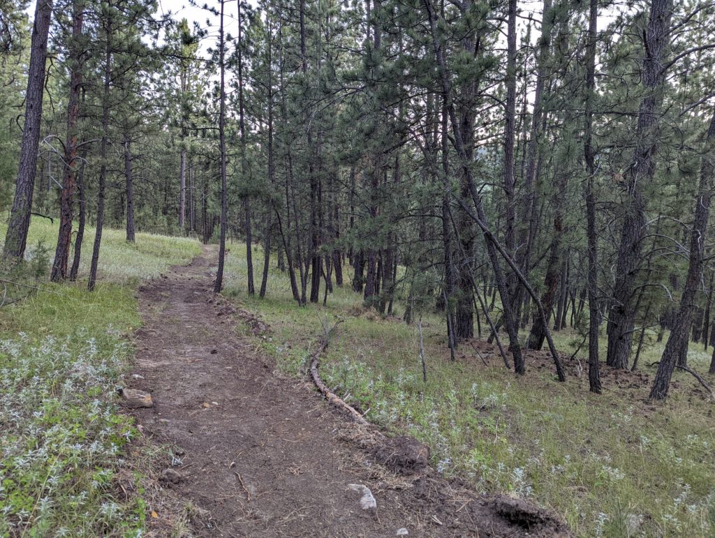
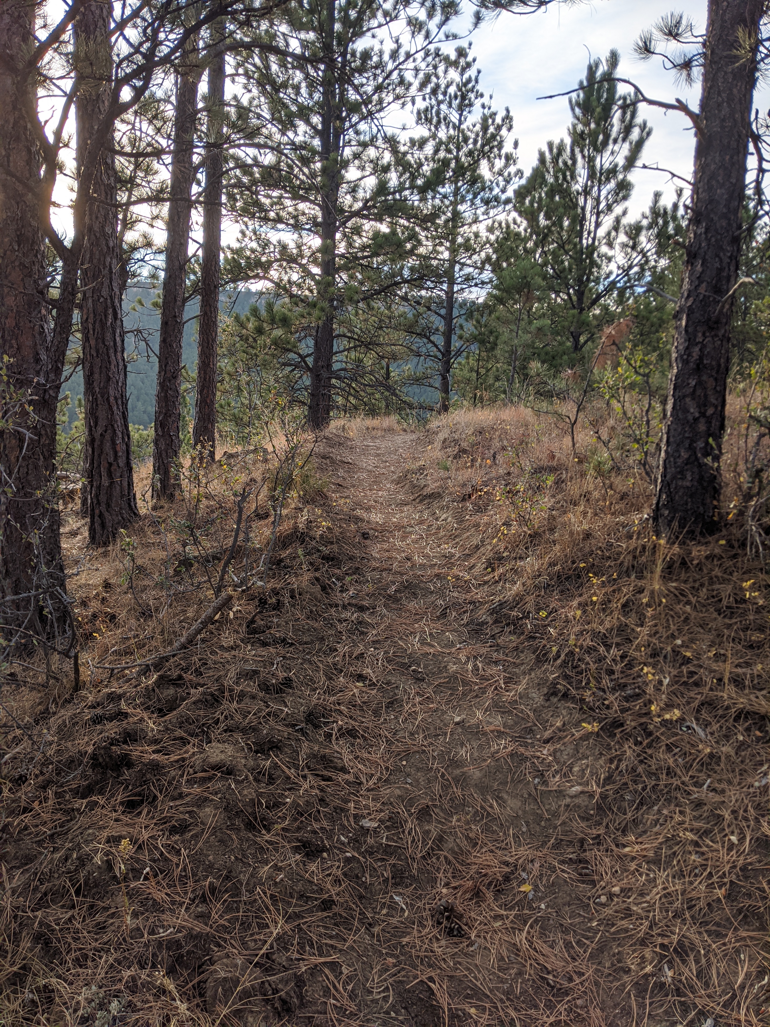
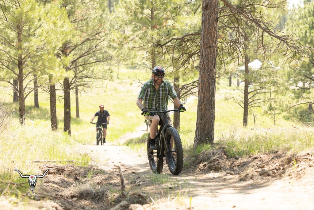
Trail development began in 2015 with the development of the Cambria Trail. The Bent Sprockets club has continued these efforts. Today, the Flying V Trails consist of over 17 miles of single-track trails as well as wider trails maintained as accessible trails for adaptive riders, jogging strollers, 3-wheeled bikes, etc. Our goal is for everyone to find what they are looking for at the Flying V Trails!
Check out our Adaptive Trails Project to learn more about our efforts to create opportunities for adaptive riders in Weston County.
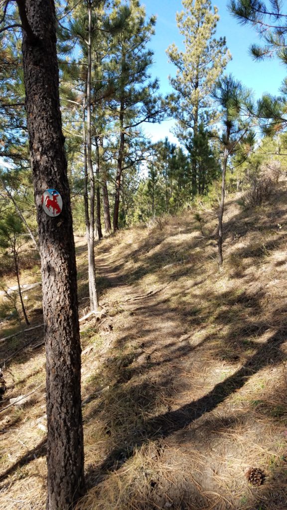
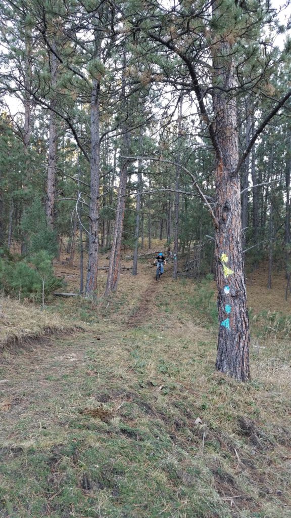
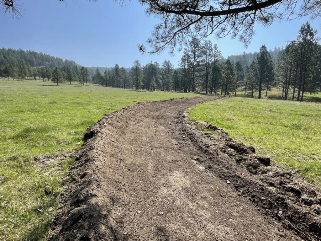
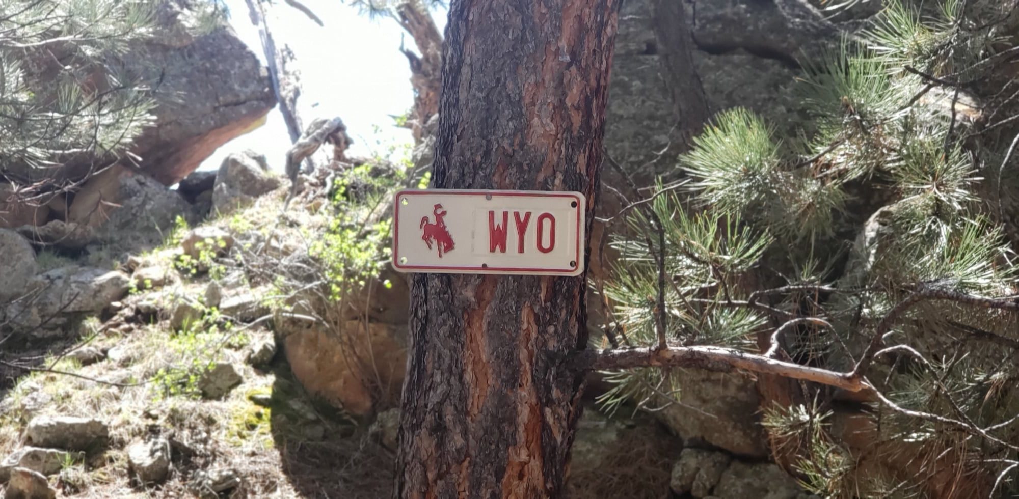
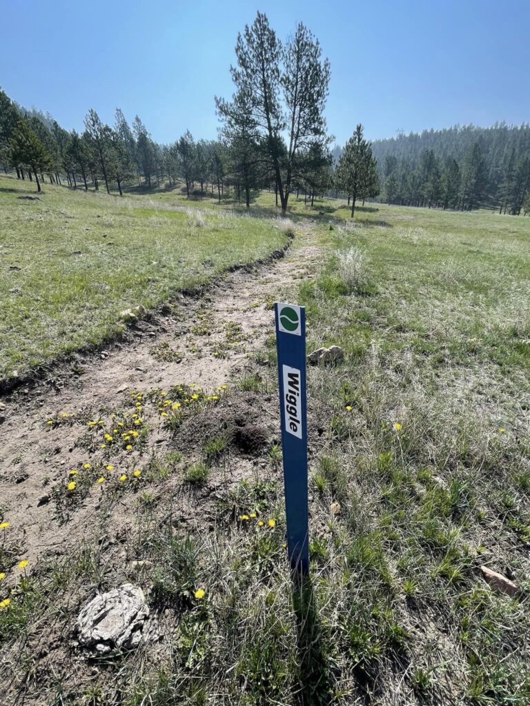
And with new trail maps at each major trail junction and new trail name signs you can feel comfortable venturing out on your own!
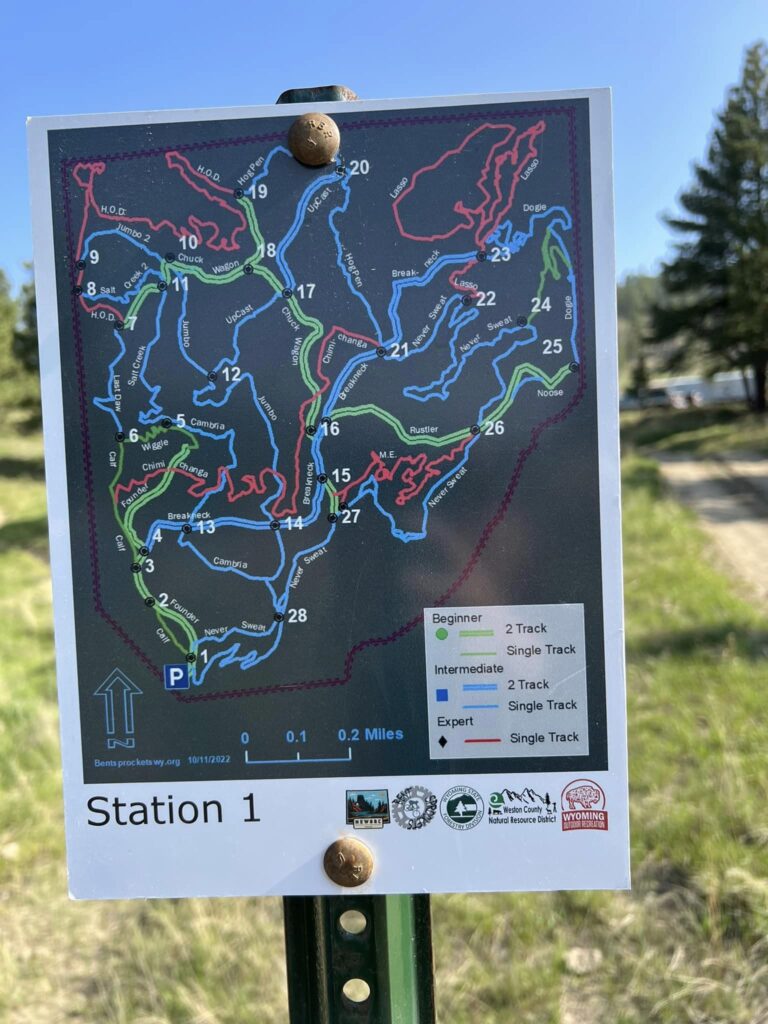
Flying V Maps
Trail Forks: Flying V Trails
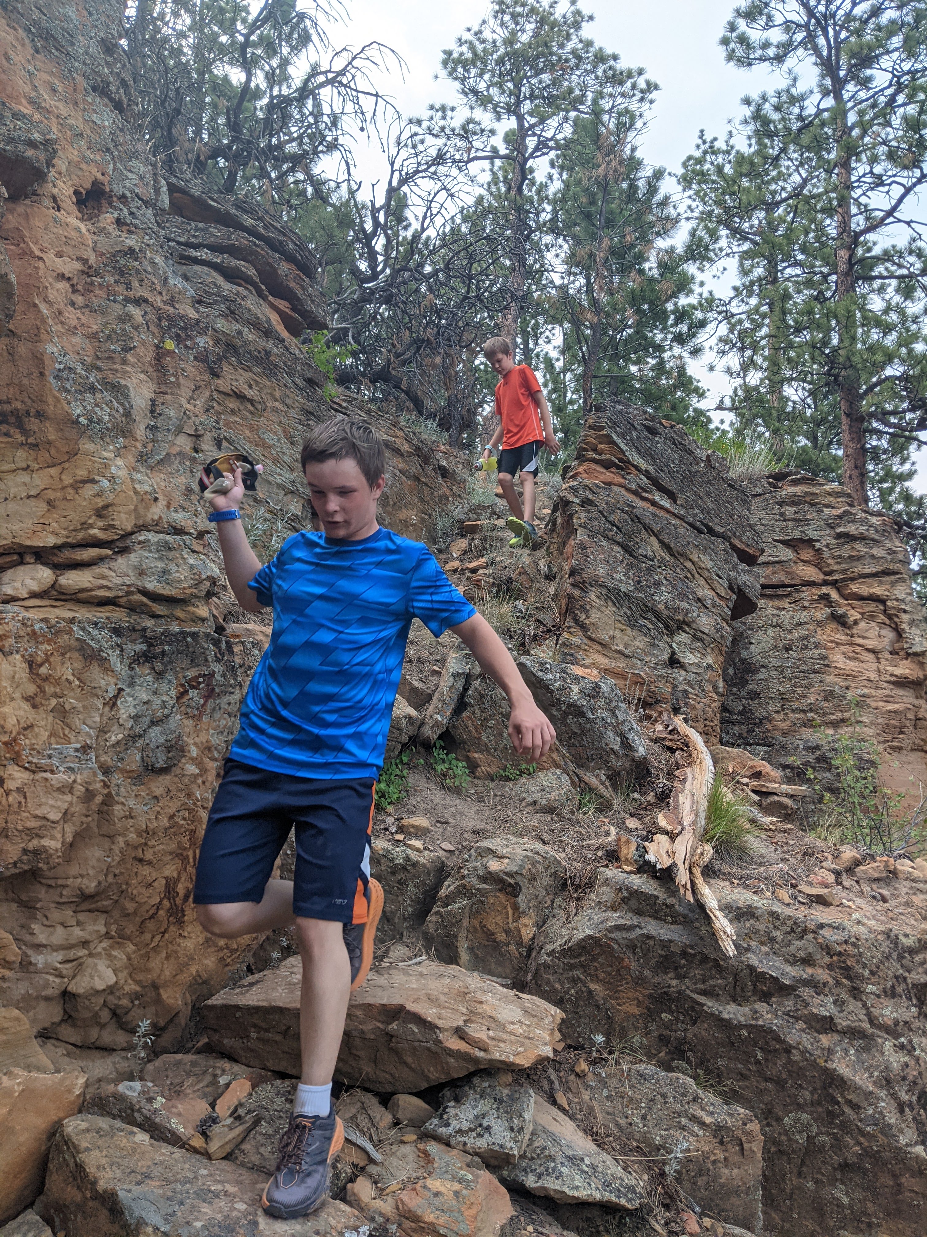
Come create your own adventure at the Flying V Trails!
Google Map
For an interactive map experience check out this map in Google Maps!
Tip: if you open it on your desktop computer you have the option to also view it on Google Earth. This allows for viewing in 3D! To find this option, click on the map and then look for the 3 dots in the top left of the screen. Click on these dots and select View in Google Earth.