#clayspurtrails
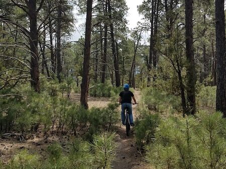
The Clay Spur trail system comprises over 100 miles of single trails originally created for the Inyan Kara Enduro Race. This is an annual motor bike race typically held in September. Trails are primarily single track with some two track and gravel roads as connections in some places. They are primarily on land contained within the Thunder Basin National Grassland and managed by the US Forester Service. With some sections also crossing private land. If you do use these trails, please be respectful when traversing private land.
For more on the grassland: Thunder Basin National Grassland
For information on the Enduro Race:
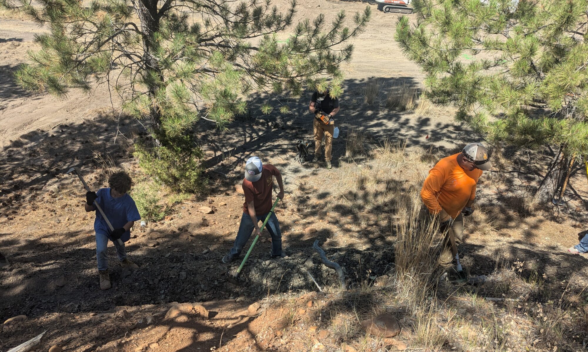
We are so happy that the enduro group is willing to share their trails with us. And for all the hard work that they have put into building and maintaining these trails.
Here are some maps of the trails at Clay Spur
We don’t have all the trails mapped, but these maps will give you some ideas on the trails and how they connect together, etc. We are planning to do a more thorough mapping soon.
Trail Lengths:
East Kellog: 8 miles
Kellog: 13 miles
The map below shows how the trail interconnect together with the two-track and gravel roads in the area.
These maps works in Avenza: for more information on using Avenza go to our tutorial page