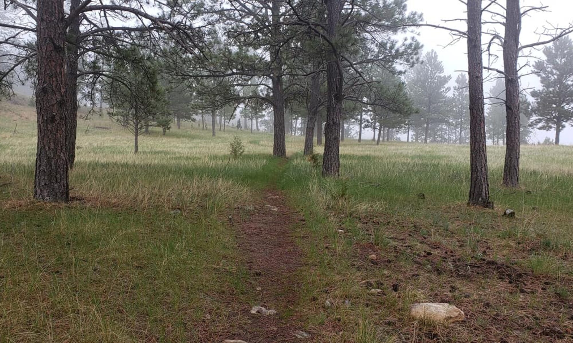

The 100-mile race/ride course travels through varying terrain, traveling on a combination of pavement, gravel, and dirt as riders navigate the canyons, forest roads, and two tracks on the west side of the Black Hills. Filled with beautiful views and challenging climbs, totaling over 7,000 ft of climbing!
The combination of varying terrain, challenging climbs, and unpredictable weather in early October can make this a very challenging course. The weather could have a big impact on the portion of the course that travels through the USFS National Grassland, as parts of this course is on dirt two-track that can get very sticky in wet conditions. But this is what keeps it interesting!
Similar to other comparable races in the region, this race is for experienced riders who can average at least a 10 mph pace.
Here are several ways to explore the course
PDF 100 mile 50/50 Race Course
Course Details


Race Start: the race will start in Dow Park at 8 am. Riders will begin with a 2.75-mile neutral start. Leaving Dow Park riders will turn right, following Main Street to the Truck Route Bypass. Then left on the bypass, staying on that until reaching the 4-way stop east of Town. After rolling through the 4-way stop the race will begin as racers continue down US Highway 16 towards Bohl’s Canyon Rd.
Aid Stations and Checkpoints
Cutoffs: Cutoffs are based on a minimum 10 mph speed
Aid station 1: Riders are not required to stop at this aid station. Summit Ridge Cabin, approximately mile 19.5 miles. Riders are not required to stop at this aid station. There will be water and a few assorted food items. The cutoff here is 10:30 am and will be strictly enforced. If a rider fails to make it to the aid station by the cutoff time they will receive a DNF.
Checkpoint 1: approximately mile 45 at Four Corners. Cutoff time is 1:00 pm. Riders are required to check-in at this checkpoint. Failure to do so will result in the rider receiving a DNF. If a rider fails to make it to the aid station by the cutoff time they will also receive a DNF. We will provide water at this checkpoint but that is all. This is the only place where riders can meet their crew. Recieving aid, including navigation, at any other point along the route will result in a DNF. Drop bags will also be available at this checkpoint, to be collected at check-in.
Checkpoint 2: mile 73, Arledge Rd and HWY 116. The cutoff is 3:30 pm. If a rider fails to make it to the aid station by the cutoff time they will receive a DNF. Water and assorted food items will be available at this checkpoint.
Support Crew
Every rider is required to have a support crew. They will be responsible for picking you up on course if you DNF or need a ride due to injury or mechanical problems. Any assistance from your crew at any point other than the designated checkpoint will result in a DNF.
Your support crew can be another rider as long as you both understand that you may have to wait at a bailout spot for the other rider to finish, before he can come to rescue you. We do not provide riders with transportation. It is your support crew’s responsibility to make sure you are accounted for at the end of the day! We will have someone sagging each distance, but if you make a wrong turn and the support misses you, we won’t know that you are still out there! Support crew will not be allowed out on course unless they are picking you up, but are allowed to meet you at the aid station to check on your well-being.
Most of the course does not have any cell service. Locations with cell service will be listed here prior to race day. It is the responsibility of the rider to make it to a spot where they can call their support crew to come and get them. If you leave the course, you are also required to inform the race director that you have left so we don’t come looking for you. Please let us know if you leave the course!
Your support crew is not allowed to drive the course! We don’t want a bunch of vehicles out there kicking up dust and interfering with other riders. Your crew is allowed to meet you at the Four Corners Checkpoint . This is a good place for them to check up on your progress!
Navigation
This race will be sparsely marked and riders are responsible for their own navigation. We have provided a PDF map as well as GPX and KML files. Cue sheets will also be provided. Cell service is very sparse so be prepared to navigate the course and pay attention!
This race also takes place on open roads. Take care and follow the rules of the road. Stay on the right side, especially on blind corners. These roads are used by trucks and farm equipment. Be careful or you could easily get hit out there.
Weather
The race will happen regardless of the weather, and while Wyoming is always unpredictable, this time of year we could have anything from 80 degrees to cold and snowing! There is also a good chance for mud! So come prepared and have fun!
